Datei:Singapore location map (main island).svg

Der Ömvang vun heh däm PNG-Minnibeldsche vun dä Ojinahl SVG-Datteij es: 800 Pixelle breed × 508 Pixelle huh. Ander Oplühsunge: 320 Pixelle breed × 203 Pixelle huh · 640 Pixelle breed × 406 Pixelle huh · 1024 Pixelle breed × 650 Pixelle huh · 1280 Pixelle breed × 812 Pixelle huh · 2560 Pixelle breed × 1625 Pixelle huh · 3247 Pixelle breed × 2061 Pixelle huh.
Ojinaal-Dattei (SVG-Datei, de Basis es 3247 Pixelle breed × 2061 Pixelle huh, dä Dateiömfang es 309 KB)
.svg)
Beschrievungstex un Zosammefassung
| Zosammefassung |
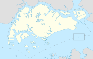
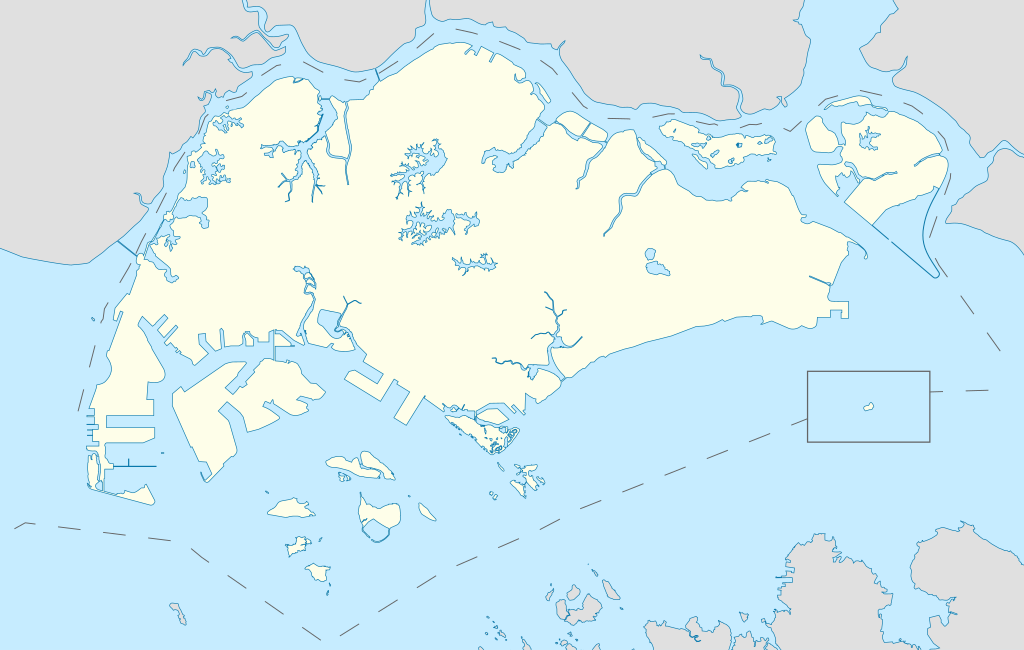
English: Locator Map for Singapore's main island, with Pedra Branca as an insert |
| Et Dattum | |
| Quell | Eije Werk |
| Dä Urhävver | Seloloving |
Lizänz
Esh han et Urhävverääsch vun däm Wärk, un maachen dat Wärk öffentlesch unger dä Lizänz heh:
Diese Datei ist lizenziert unter der Creative-Commons-Lizenz „Namensnennung – Weitergabe unter gleichen Bedingungen 4.0 international“.
- Ühr hat de Freiheit:
- dat Werk aan Andere wigger ze jävvee – dat Werrek zu koppeere, ze verdeijle, un ze övverdraare
- et neu affzemesche – dat Werk aanzepaße udder zeräsch ze maache
- Onger dä Bedengung(e) dat:
- Namensnännong – De moß däm singe Name nänne en dä Aat, wi dää, dä et aanjevange hät, udder dää, dä de Rääschte jez hät, dat faßjelaat hät, ävver nit op en Aat, di mer esu vershtonn künnt, wi wann dää Desch, udder Dinge Jebruch, dän_De vun däm Werrek mähß, joot'heiße udder aan'äkänne dät.
- Wiggerjävve onger derselleve Bedengunge – Wann De dat Werk aanpaß, ömwandels, Der zeräsch mähß, udder drop opbouß, dann darrefs De dat, wat derbei eruß kütt, bloß onger derselleve Bedengunge, undder jannz ähnlesche Bedengunge wigger jävve, wi di Lizänz hee.
De Väsjohne vun dä Dattei
Di domohlije Version kriß De jezeich övver dä Link op em Dattum.
| Väsjohn vom | Minni-Belldsche | Pixelle Breed×Hühte (Dateiömfang) | Metmaacher | Aanmärkong | |
|---|---|---|---|---|---|
| Von jetz | 13:16, 14. Jun 2020 | | 3247 × 2061 (309 KB) | Seloloving | added maritime borders |
| 11:36, 13. Jun 2020 |  | 3247 × 2061 (310 KB) | Seloloving | full extent of singapore and claimed waters | |
| 20:36, 10. Jun 2020 |  | 2959 × 1949 (224 KB) | Seloloving | Uploaded own work with UploadWizard |
Jebruch
Nix Lengk op heh di Dattei.
Jemeinsam jebruch Dateie
Heh di ander Wikis bruche di Dattei:
- Der Jebruch op bcl.wikipedia.org
- Der Jebruch op en.wikipedia.org
- Jurong
- Jurong Island
- Pulau Tekong
- Changi
- Changi Naval Base
- Ang Mo Kio
- Changi Prison
- Sembawang
- Pulau Ubin
- Paya Lebar Air Base
- Geylang
- Sakya Muni Buddha Gaya Temple
- Punggol
- Woodlands, Singapore
- Marine Parade
- Clementi, Singapore
- Pasir Ris
- Orchard Road
- Kallang
- Choa Chu Kang
- Paya Lebar
- Republic of Singapore Navy
- Singapore Army
- Tampines
- Bukit Timah
- Yishun
- Marsiling
- Serangoon
- Bishan, Singapore
- Lim Chu Kang
- Bukit Batok
- Bukit Panjang
- Hougang
- Queenstown, Singapore
- Toa Payoh
- Tuas
- Former National Stadium, Singapore
- 1984 AFC Asian Cup
- Bedok
- Kong Meng San Phor Kark See Monastery
- Seletar
- Pulau Brani
- Kusu Island
- Sisters' Islands
- Pulau Hantu
Loor donoh, woh heh di Dattei söns jebruch weed.
.svg)
.svg)